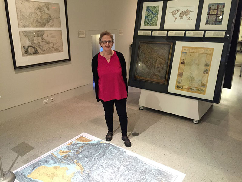
Alice Hudson Award
[ Award Winners: Best Printed Map | Best Interactive Map ]
Maps are powerful tools for helping us visualize and understand our world. Maps have the ability to transform the way we think about and solve complex problems. Their relevance is just as important in the digital age as in the analogue age of cartography. This award has been established in honor of Alice Hudson (who passed away on November 6, 2024), one of the founding members of the New York Map Society, which sponsors this prize. Alice Hudson was a force in the field of map librarianship at formational period in its history, and over the course her decades long career she helped guide and mentor countless scholars and colleagues. Her curatorial and collection work at the New York Public Library helped establish the Library’s Map Division as one of the premier public map collections in the world and her research into the history of cartography, particularly her work in centering the work of women in the field of mapmaking continue to inform and inspire today’s researchers.
 The New York Map Society is a non-profit organization whose mission is to encourage and promote the study, research, use, creation, preservation and appreciation of all forms of maps. Their interests span the history of cartography, encompassing all eras and methodologies, from antique maps to today’s digital productions.
Prize Categories:
- Best printed map (handwritten or static map for printed media)
- Best interactive map (a map or series of related maps designed specifically for DVD, web, tablet or mobile apps)
Eligibility:
Students must have completed or be enrolled in courses offered by Hunter’s geography and environmental science department and are in good standing at Hunter College at the time they submit a map. A student’s academic standing is based on their enrollment when the map is submitted. Maps must be produced between Spring 2024 and Spring 2025. Maps may be submitted on any subject, topic, or region. The map may not contain or display any inappropriate content. All data used to create the map must be publicly accessible or verifiable.
The Department of Geography and Environmental Science encourages students at Hunter College, CUNY to create and submit outstanding, original geo-visualizations and geographic products for our annual Map Design Competition. The competition is made possible through generous sponsorship of the New York Map Society (http://newyorkmapsociety.org). Your map should tell its story and be able to stand on its own.
Contest Rules:
- Eligible students may submit more than one map in more than one category, and may win in more than one category.
- A printed map is a static map either printed on paper or submitted digitally in PDF, TIFF, PNG, JPG, JPEG or GIF format. Resolution of map should be at least 300 DPI. Maps may be of any size. The map should tell the story, there should be minimal additional narrative reflecting disciplinary or field preferences beyond the map giving context. This is not a poster competition.
- An interactive map is an electronic map designed for electronic media and can be web-based, app-based for mobile and tablet devices, installed as a stand-alone program, or run on a DVD or CD.
- Students submitting interactive maps shall create and submit a demo video introducing themselves and demoing their map. The video length should be no more than 5 minutes.
- Any software product may be used to create the map.
- Interactive maps must remain active through August 31.
- Maps may have multiple creators, however only one prize will be awarded to the map.
- Not all prize categories need to be awarded.
Submission Details:
The deadline for map submissions is April 30, 2025 at 11:59 PM through the online map submission form.
Map Entry Form:
Evaluation of Submissions:
- Maps should communicate important information to the viewer
- Maps should show good balance, have good contrast, have clarity, and be parsimonious.
Guidelines:
IMPORTANT: Guidelines are guidelines, not requirements. Try to do your best but do not hesitate to submit the map if you think you did not meet ALL of these criteria. You can win the competition if your maps are good on a few of those criteria.
Static Maps
(1) Required Criteria
- Clarity: The map is easily understandable, with clear labels and easily followed visual information.
- Visual Appeal: The map's colors, symbols, and typography are attractive and well-coordinated.
- Accuracy: Locations, data representation, and spatial relationships are correct.
- Purpose: The map effectively conveys the intended message or fulfills the given prompt.
- Legend and Key Elements: There's a clear legend explaining map symbols, a scale for reference, north arrow (unless orientation is obvious), title, and other relevant technical elements (graticule, data source citation, etc.).
- Title: A clear title immediately informs the viewer about the map's content and focus.
- Scale Bar: It's a must for providing a sense of distance and proportion on the map.
- North Arrow: Critical for orientation, especially if the map's area isn't familiar to the audience.
- Graticule: Latitude and longitude lines help with precise location interpretation and also indicate the map projection used.
- Data Sources/Credits: Ensures transparency, acknowledges data origin, and helps evaluate the map's reliability.
(2) recommended
- Cartographic Conventions: The map shows an understanding of common map design rules, like visual hierarchy and symbol appropriateness.
- Balance and Composition: Aesthetics are considered; the map doesn't feel overly crowded or empty in any area.
- Data Representation: The chosen methods suit the type of data presented (e.g., points, lines, polygons, choropleth).
- Projections: The correct map projection is used for the area and purpose.
(3) sugar-on-top:
- Originality and Creativity: The map demonstrates innovative design choices or unique presentation of information.
- Effective Storytelling: The map guides the viewer through a compelling and informative narrative.
- Analysis vs. Simple Display: The map goes beyond displaying data to uncover patterns or highlight trends.
- Advanced Techniques: The map demonstrates the use of techniques like generalization, masking, or data classification methods.
Interactive Maps
The following is a list of expected features or qualities for interactive maps, from important and necessary ones to desired and optional ones.
Availability: Online maps must be accessible to the public. Web maps should not be hosted on local computers, behind paywalls, blocked by firewalls, use restricted data sources, or require logging in.
Map Interactivity: The web map must support the basic level of interactivity such as zooming and panning. Depending on the purpose of the map, extra interactivity features such as layer control, popup information window, and feature identification are expected. All the interactions should be smooth and responsive.
Design and Visualization: The map's visual elements must be well designed with clarity. For example, all the labels, symbols, and legends should be clear and easy to understand. Tables, charts, and other information presentation methods should be included where appropriate.
Intuitiveness: The interactive map should allow users to easily navigate and interact with the map. An intuitive interface ensures users can quickly understand and use the map without extensive training or learning.
Performance: The map should load in a reasonable time, especially with large datasets. A fast-loading map provides a better user experience.
Data Quality: The map data should be accurate, precise, and up to date. Only reliable and reputable data sources should be used for the map.
Responsive Design: The web map could adapt to different screen sizes of computer monitors, pads, and smart phones.
Accessibility: Where applies, the map should provide accessibility features, making it usable for people with disabilities. This could include features like keyboard navigation, screen reader compatibility, and color contrast.
Search and Query: The map could have search functionality so that users can easily search for general locations by addresses or specific features in the mapped datasets.
Mobile-friendly design: Support for touch screens is crucial for users accessing the map on smartphones or tablets.
User Help and Documentation: The map should provide documentation on how to use and interpret the map. Optionally, it should also allow users to provide feedback on the map. This can include error reporting, suggestions, or comments.
Judging Panel:
Maps will be judged by a 3-person panel of judges with extensive background in cartography, design and visualization, and other related fields. Breakdown of judges as follows:
2 from Hunter Geography
1 from NY Map Society
1 non-voting, advisory role
Presentation of Award:
A representative of the New York Map Society will present the awards at the Department of Geography and Environmental Science’s Annual Dinner & Awards Presentation event. Awardees will receive a check and a framed signed certificate.
Display of Maps:
Maps will be made public for viewing on the Department of Geography and Environmental Science’s website and in the department. If possible, maps will be displayed at the Department’s Annual Dinner & Awards Presentation event or at venue for in-person viewing. Awardees agree to present their map submission to an audience of map enthusiasts, no later than one year after receiving the award.
Gallery of best printed map awardees and best interactive map awardees.
More Information Contacts:
Amy Jeu – ajeu@hunter.cuny.edu