In the News
NY Solar Map Launched
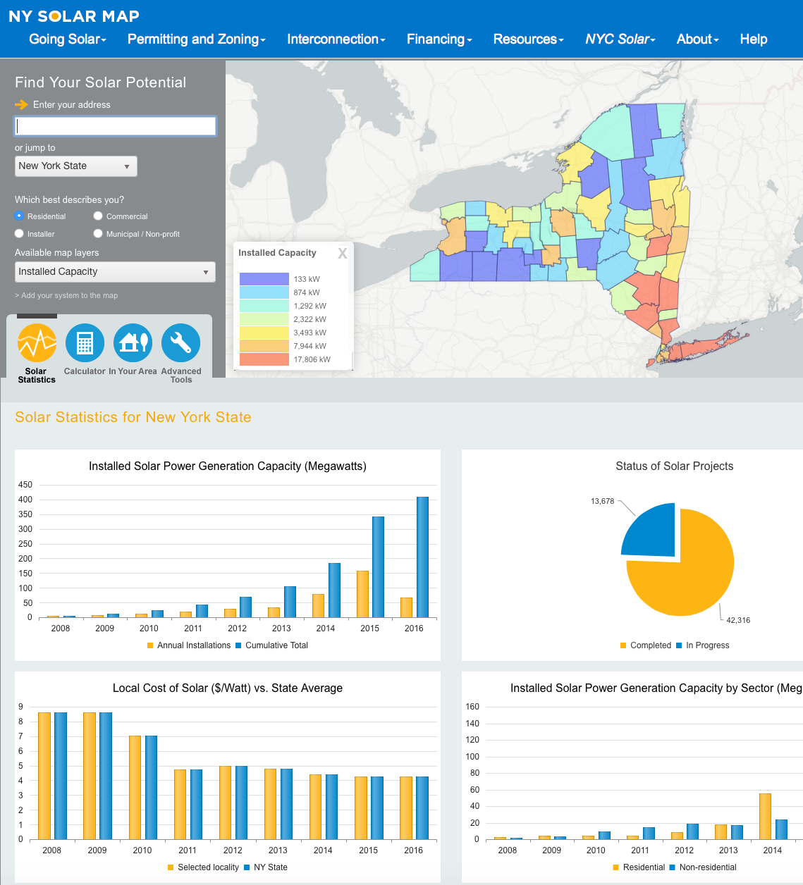
The NY Solar Map was successfully launched on June 20, 2016. The project leader was Ms. Tria Case of Sustainable CUNY. The CARSI team, lead by Professor Sean C. Ahearn, headed up all geographic aspects of the system. Dr. Gordon Green is the lead Research Programmer on the Project, responsible for everything from model development and calibration, to web-based geographics. Dr. Hyo Jin Ahn conducted the LiDAR editing/analysis and Digital Surface Model creation.
The NY Solar Map is a significant advancement on the New York City Solar Map which was launched in 2011. Front-end differences include an "In Your Area" function that gives local information on solar incentives and programs. There is also a new "Bid-Call", in which anyone interested in a solar installation for their home or business can receive three bids from qualified vendors. Behind the scenes we have improved the model calibration and "useable roof area" estimates. LiDAR for Westchester was added to the new system. The system is designed to easily add new regions for which LiDAR is available. Feel free to give it a try at www.nysolarmap.com !

