Geography Seminar Series
Free & Open Source Software for Geospatial Applications

GUEST SPEAKER:
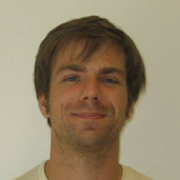
Eric Brelsford
Wed, Feb 26, 2014
3 to 5 pm
Room 1004 HN
Topic: Eric will give us an overview of the Free & Open Source Software for Geospatial Applications (FOSS4G) terrain, followed by a few examples of workflow. What tools are out there for making useful and interesting online maps? What is "open source" software and how is it different from other software? Where does it fit in with the history of web mapping, who are the people (and what is the technology) on the cutting edge?
Eric will then discuss which programs talk to each other, what types of things you can do with each platform. He'll talk about (and hopefully have time to walk us through) CartoDB (and cartocss), geojson, TileMill, and more, depending on what we have time to cover. If there's interest, he can go over using javascript libraries like leaflet to customize these online maps.
Bio: Eric teaches web mapping (mostly open source) at The New School and co-runs 596 Acres. He's never taken a GIS class or used ArcGIS, but has produced maps here and here and here (among other places). He's also active in the Open Street Map community and just started a thing called Maptime (an idea that originated on the west coast, "Our mission is to create a safe space where interdisciplinary communities can learn, socialize, and code maps with each other (and for each other)"), where he led its first meeting.
He's on the internet @ebrelsford.
All are invited to attend!
