Course Rationale
Class Scheduling
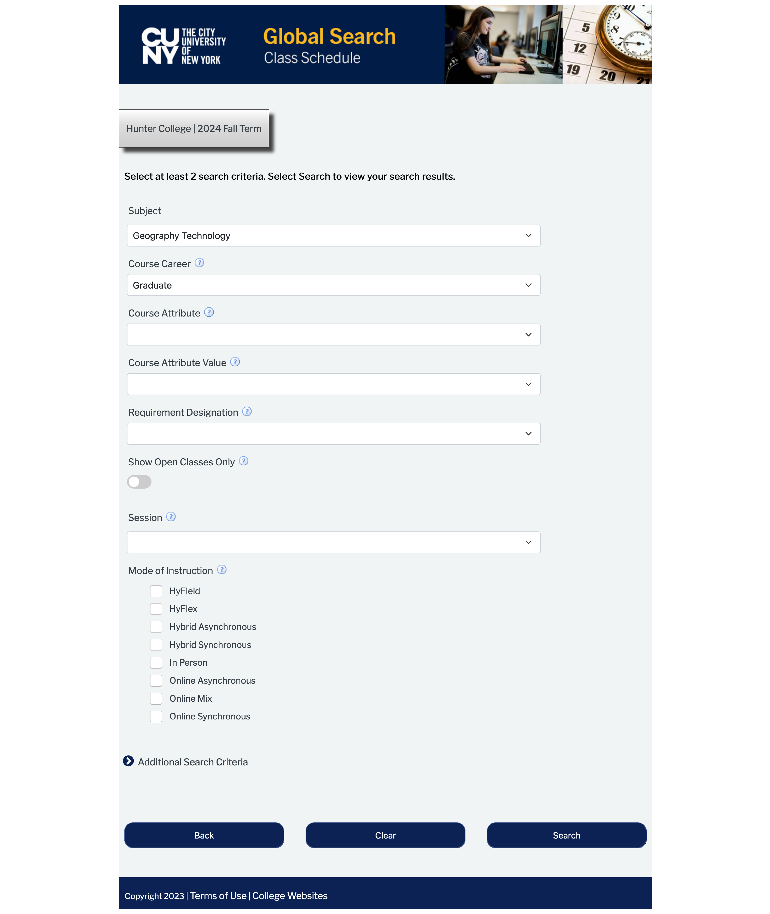
CUNY Global Search
For the official course schedule of the current or next semester, please visit CUNY Global Search. All GTECH courses are under the subject of “Geography Technology”. Please turn off “Show Open Classes Only”. Otherwise, some classes with full enrollment will not show up in the search result. However, the department could increase the class capacity for more students if needed. Therefore, classes “closed” are actually still open in most cases.
Course Syllabi at Geography Department Website
Our department website also lists courses in the current and previous semesters, where you can find the syllabi of most courses.
Note that we are working hard to schedule courses for the next two years. However, there are many unexpected events and unplanned changes. One of the biggest factors is the uneven distribution of students in different classes. Courses with low enrollment are likely to be cancelled or converted to independent studies. It would be extremely helpful if you timely examine the course offerings and register early.
Hunter College Class Registration
Once you learned the courses offered during the semester, you can register for classes using CUNY Schedule Builder. If you need to request permission or consent for a particular course, please contact the course instructor or the program advisor.
Course Types and Sequences
The field of geospatial technologies, including GIS, GeoInformatics, GIScience, Remote Sensing, Spatial Data Science, GeoComputation, etc., has been and will remain diverse and quickly evolving. The GIS programs at Hunter are designed to cover the key areas that would advance your career in the long run.
In our opinion, the most significant transition in the field is using computer code to drive GIS applications. In other words, doing GIS today is more about writing computer code than about operating a set of specialized software to answer geospatial questions. Of course, we provide opportunities for students who are interested in both types of skills. Our faculty members and instructors fully understand the challenges of shifting to coding and therefore are patient for those who are making the transition during their study in the program. It is not surprising if the transition occurs near or even after graduation from our programs.
Here are some comments to our courses and sequences.
GTECH 201 and GTECH 709
Most courses in the GIS sequences have one of these two courses as prerequisite. So, you should take one of the courses as early as possible. For those who had taken intro-level GIS courses somewhere else, you might be able to register more advanced courses with special permission. However, you are still strongly encouraged to take these courses first at Hunter.
GTECH 361/732
These are the advanced GIS courses. You can and should take these courses immediately after GTECH 201 and 709. Finishing the GTECH 201/361 or 709/732 sequence also meets part of the requirements of our GIS programs.
Programming and Coding Courses
Courses that cover the basics of programming are GTECH 331/731 for Python, GTECH 38520/78520 for R, GTECH 38519/78519 for SQL and ST-SQL (Spatial Type SQL), and GTECH 384/78534 for JavaScript. Overall, we offer courses for the big five in spatial data science, i.e., SQL, Python, R, JavaScript, and HTML/Markdown. Arcade for ArcGIS is very similar to JavaScript. Markdown is used in Python and R courses. HTML is also covered in WebGIS, along with JavaScript.
Python and R are popular or dominating languages in data science. Python is particularly popular in industry while R is more so in academia. Both have a very large user base, an amazing collection of open-source libraries/packages, and tremendous community support.
SQL is the language for (relational) databases. Geospatial databases, specifically PostgreSQL/PostGIS, are powerful object-relational data management systems for efficiently querying and manipulating very large geospatial datasets that would otherwise freeze your computer/software or take hours or even days to run. Moving from file-based to database-based spatial data management is a clear trend in the GIS world.
The future of GIS is web based and JavaScript is THE language of the web. Our WebGIS course is designed around JavaScript, although we do provide a programming-free option using ESRI’s template-based web app development tools hosted on the ArcGIS.com cloud.
While these programming languages are seemingly separate and isolated, all of them are actually converging in the so-called notebook-style environments featuring Markdown and other programming languages. In some environments, we can mix all these languages together. The R markdown and Quarto notebook in RStudio, for example, can run R, Python, Observable JavaScript, and SQL. In Python and R, we can also use a lot of JavaScript-based packages for charting and mapping. Plotly and Leaflet are two prominent examples. JavaScript also has libraries to call SQL and to connect to services enabled by Python or R.
Remote Sensing Sequence
While under the same umbrella of GIScience and GeoInformatics, remote sensing is a distinct sub-field from “GIS” (the narrowly defined one focusing on vector data). It is completely fine to study remote sensing without investing much in GIS, although most real-world remote sensing applications often require some GIS inputs and operations. Like GIS, remote sensing is also turning to computer code for data processing and analysis. In that sense, the programming and coding courses can help remote sensing as well.
GTECH 321/712 is the introductory remote sensing course. Those who want to learn more remote sensing and environmental applications should take this course as early as possible. The next course in the remote sensing sequence is GTECH 322/713. This is essentially the remote sensing equivalence of the 201/361 and 709/732 sequence.
GIS Applications
After learning the GIS basics and/or advanced skills, students can take GIS application courses. These courses are particularly helpful for those who want to develop their capstone projects or thesis works. We have courses in GTECH 38501/78501 Urban Applications of GIS, GTECH 38502/78502 GIS Applications: Social Geography, and other application courses, depending on the availability of our professors.
Non-programming Courses
Even though coding is the trend in GIS, we understand that not everyone is ready for that yet. Our programs also offer many course with little to no programming. Particularly for Advanced Certificate in GIS, one can possibly graduate without writing a single line of computer code. Most courses, other than the programming and coding courses mentioned above, do not require coding. For example, GTECH 380/721 are programming-free and GTECH 384/78534 have non-programming options. Courses in GIS applications can be done without programming, although code could greatly improve the efficiency and possibly expand the capacity of such application works.
Flexibility in our programs
Many of our students have full- or part-time jobs. It is not uncommon that schedule conflicts prevent some from taking particular required courses. In other cases, the courses that you plan to take are cancelled due to various reasons. Or you decide not to go through the “programming” route, but cannot find a programming-free course for a particular semester.
Our programs will consider alternative options in these and similar cases. For example, we could use one elective course to replace a required course, or use an independent study course to replace a cancelled course. If you are in such a situation, please do not hesitate to discuss with the program advisor for a solution.