The
Zonal Statistics function
In a raster dataset, any
two or more cells with the same value belong to the same zone. A zone can
consist of cells that are connected or disconnected, or both. For example, all
of the cells in a raster dataset with a value of 1 belong to a zone, all of the cells with a value of 2 belong to another
zone, and so on. In fact, every cell in a raster belongs to a zone and a raster
dataset can contain one or many zones.
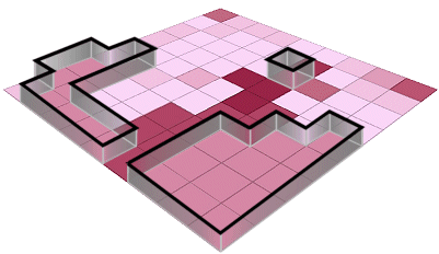
In this graphic, there are six zones, but only one is
delineated.
You use the Zonal
Statistics function to find trends in data within zones defined by another
raster or vector dataset. In this way, the areas of analysis are fixed or
constrained by the shape and location of the zones. Instead of a new raster,
the Zonal Statistics function produces a table of statistics and a graph.
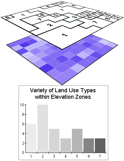
The Zonal Statistics function requires a Zone dataset and a Value
raster. Statistics are calculated by zone, not by cell. The results are
presented as a table and a graph, not a new raster dataset.
Zones are composed of
regions. A region is a group of connected cells in a zone. A zone that consists
of a single group of connected cells has only one region.
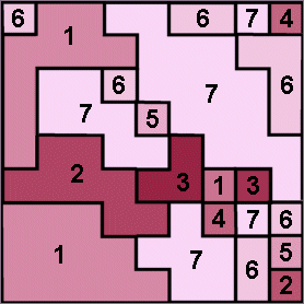
Each zone is composed of at least one region. In this
example, Zone 1 is composed of 3 regions, each of which is a different size and
shape.