Interpolation barriers
The physical, geographic
barriers that exist in the landscape, like cliffs or rivers, present a
particular challenge when trying to model a surface using interpolation. The
values on either side of a barrier that represents a sudden interruption in the
landscape are drastically different.
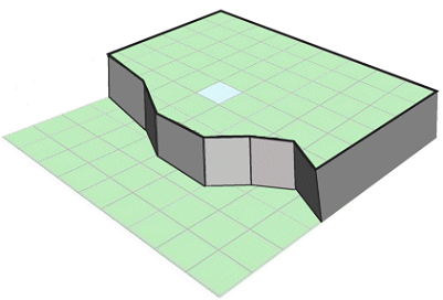
Elevation values change
suddenly and radically near the edge of a cliff. When you interpolate a surface
with this type of barrier, you can't use known values at the bottom of the
cliff to accurately estimate values at the top of the cliff.
Most interpolators attempt
to smooth over these differences by incorporating and averaging values on both
sides of the barrier. The Inverse Distance Weighted method allows you to
include barriers in the analysis. The barrier prevents the interpolator from
using samples points on one side of it.
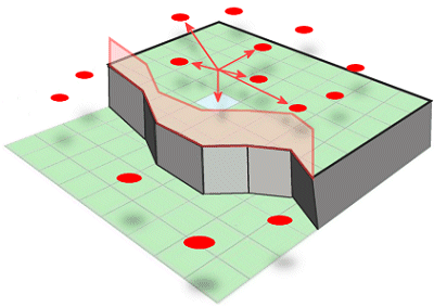
When you use a barrier
with interpolation, the estimated cell value is calculated from sample points
on one side of the barrier.