Working
with map symbols and labels
When you
add a layer to a map, ArcMap assigns a default symbol to represent the layer's
features. Because the default symbol may not be the one you want, you need to
know how to change it.
Effective
symbols take advantage of common associations that people make, such as blue
for water and green for vegetation. People also make associations based on
symbol size—a street drawn with a thick line is easily understood to be busier
or more important than one drawn with a thinner line.
Symbols
can convey a lot of information about geographic features, but displaying only
features on a map—even with symbols that effectively convey their meaning—isn't
always enough. In fact, most maps will not be useful without at least some
textual information. Text may be used to provide a feature's name or other
attribute, or to draw attention to a feature or an area of interest.
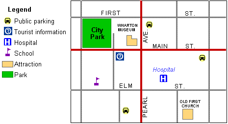
On a map, symbols are used to show feature locations.
Using pictoral symbols can provide more information;
for example, a car symbol indicates a parking lot. Adding text such as a
feature's name or function provides even more information.