Using location to get information
Location, location, location. That's the mantra of all real estate agents. The
information stored in a
Visually,
it's easy to compare the locations of some features on a map and draw conclusions.
You can see that one freeway intersects another or that a lake is
located within a particular county.
No man is
an island, and, in a
There are
four basic types of spatial relationships: distance, containment, intersection,
and adjacency. It's important to understand these spatial relationships because
they provide a basis for making decisions and solving many problems. Getting
answers to questions that are based on spatial relationships is the reason
people use a
Because a
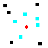
Points within a given distance of
the red point are selected.
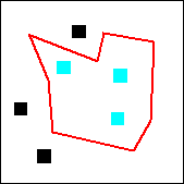
Points contained by the red polygon
are selected.
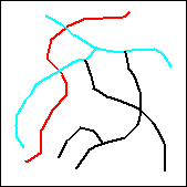
Lines that intersect the red line
are selected.
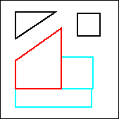
Polygons adjacent to the red
polygons are selected.
Examples
of questions that can be answered using feature spatial relationships are:
· How many houses are
less than 1 mile from the airport?
· Which parcels are contained by the
contamination plume?
· Which bridges intersect the fault
line?
· Which land uses are adjacent to the
proposed subdivision?
A
|
|
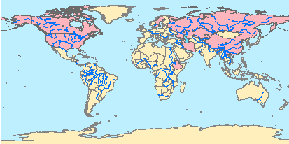
Which
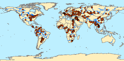
countries contain a lake completely within their borders? Which
cities are located within 25 kilometers of a river? |
|
|
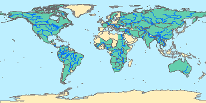
Which
countries have a river that intersects their border? |
|
|
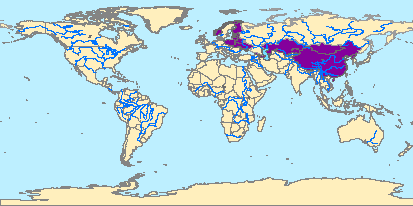
Which
countries share a border with |
|
|
Which
countries contain a lake completely within their borders? |