Representing the real world
In the
real world, geographic objects have a wide variety of shapes. In a
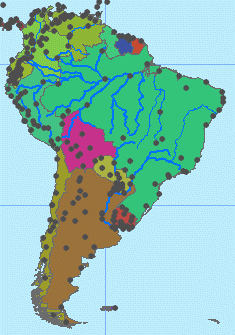
In this map of
Each
feature shape has its own unique set of characteristics. A point is composed of
one coordinate pair representing a specific location on the earth's surface. A
line is a sequence of two or more coordinate pairs. A polygon is composed of
one or more lines whose starting and ending coordinate pairs are the same. A
line has length, while polygons have two intrinsic values, perimeter and area.
Polygons represent objects large enough to have boundaries, such as countries, building footprints, and lakes. Lines represent objects too narrow to be polygons, such as streets, rivers, and telephone lines. Points are used for objects too small to be polygons, such as cities, trees, and hospitals. The geometry type used to represent an object depends on the amount of detail that needs to be shown—the same object may be represented as a polygon in one layer and a point in another layer.