SHORE FEATURES OF THE NEW YORK
BIGHT
This web page is a short collection of images representing beach
features,
man-made structures affecting shore areas, and other items
significant to the
coastal geology of the New York Bight.
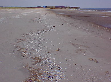
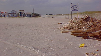
A wrackline on Rockaway Beach marking highest swash level from
the previous highest tide cycle.
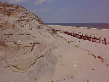
Eroded dune, battered seawall, beach, and groin (in distance),
Fort Tilden Beach, Queens, NY.
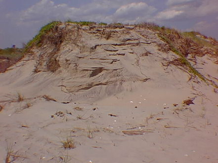
Cut-awat section through a "healthy" beach dune displaying
horizontal compacted bedding and plant overgrowth, Fort Tilden
Beach, Queens, NY.
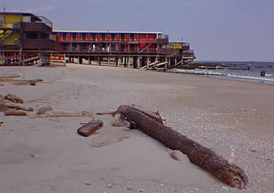
Flotsam log carried by the surf is a hazard to both humans and
building structures, such as this cabana on Breezy Point Beach,
Queens,
NY.
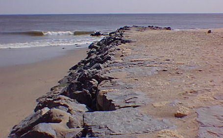
Sand trapped by a groin on Sandy Hook, NJ. Longshore
transport of sand is northward (from right to left).
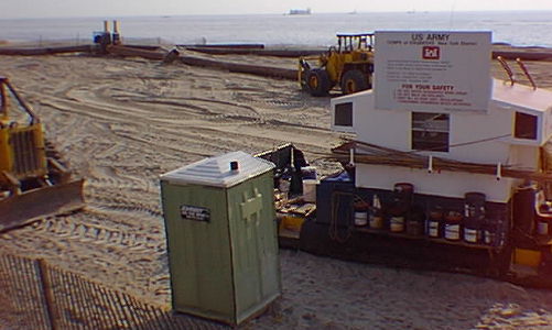
The 1996 Beach sand replacement operation along the Seabright sea
wall south of Sandy Hook. This $15 million project (65% federal
tax dollars) will temporarily replace sand in
front of the seawall until it is removed in the near
future by coastal erosion processes. Much of the sand will
end up on Sandy Hook; some will end up in the harbor shipping
channels contributing to the expense of future dredging programs
there. The "political football" question is: "is it worth it to
tax payers?" Who really benefits, and might there be
alternatives to tax dollars to pay for it?
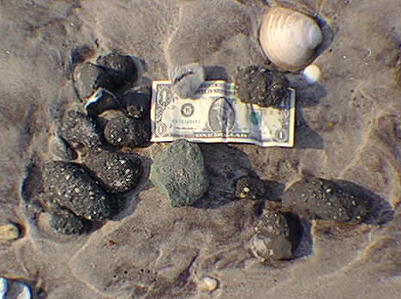
Armored mudballs on Sandy Hook Beach. These gravel-coated
chunks
of weathered Cretaceous mud are an indication of severe erosion
occuring along
the front of the Seabright sea wall.
Beachfront homes at Breezy Point, Queens, NY where shore dunes
have been removed. A fence separates barren beach from natural
vegetated dune
area. What effect will a high storm surge have on this
community? Another "political hot potato:" should inland
tax and insurance payers be held financially responsible for
coastal storm
damages?
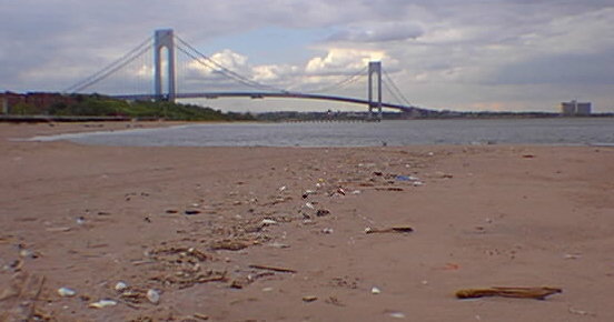
A wrackline of trash on a Staten Island beach. The Verrazano
Bridge
crosses the Narrows in the distance. Tidal currents help keep
the narrow passage
between Staten Island and Brooklyn flushed clear of bottom
sediment and debris.
The deepest spot in all of the Hudson drainage is beneath the
bridge.
 NEXT
PAGE...
NEXT
PAGE...
Return to the
New York
Bight Home Page
Writers and Webmeisters:
Phil Stoffer and
Paula Messina
CUNY, Earth & Environmental Science, Ph.D. Program
Hunter College, Department of Geography
Brooklyn College, Department of Geology
In cooperation with
Gateway National Recreational Area
U.S. National Park Service
Copyright September, 1996
(All rights reserved; use as an educational resource
encouraged.)>